ART bus network redesign
A study and proposed redesign of the City's bus routes. No new route map has been approved.
- Address
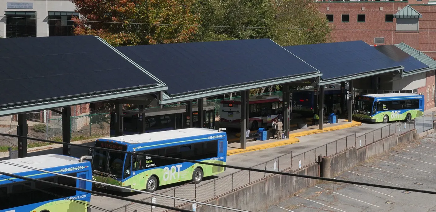
- ART system citywide; hub at the ART Transit Center downtown
- Program
- Transit planning
In plain English
A study and proposed redesign of the Asheville Rides Transit bus network. At Council's direction the draft moves from a 50/50 split between coverage and ridership to 40% coverage and 60% ridership. It would add 15-minute routes and timed transfers downtown, and drop service in some low-ridership areas, while keeping total cost about the same.
Where it stands
No network change has been approved. After the planned August 2026 vote was postponed (per BPR), City staff are researching more transit revenue and regional partnerships to report back to Council.
Next
Staff will share the results of research on more revenue sources and partnerships with Council. No new vote date is in the record yet.
Last on the public record Mar 11, 2025 (19 months ago). No public update in 12+ months.
Where it is
ART system citywide; hub at the ART Transit Center downtown
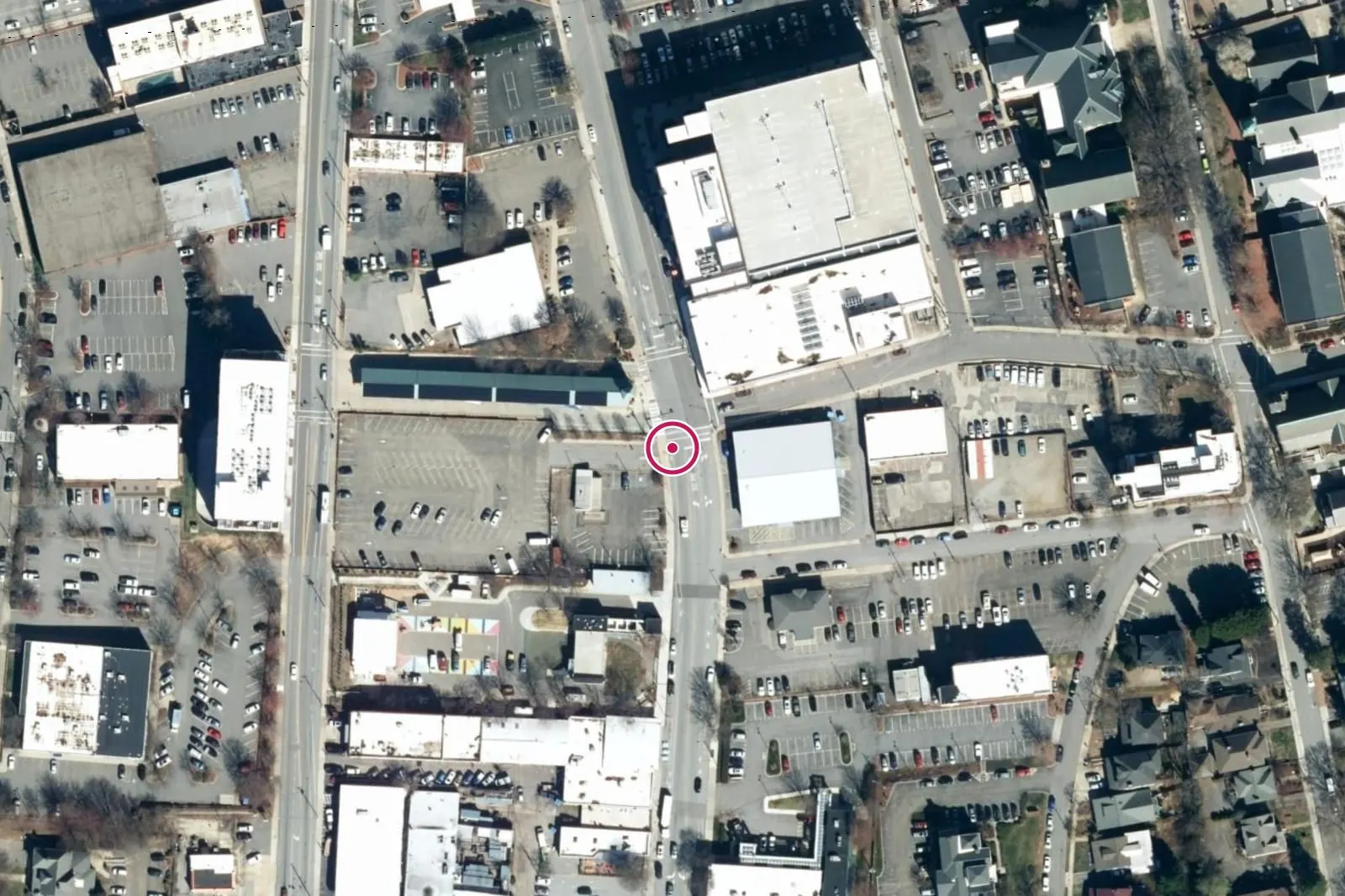
The map comes from OpenStreetMap and loads only when you ask for it.Open in OpenStreetMap
Location from the official address, found with the US Census Geocoder (Public_AR_Current).
Stage by stage
Why it matters: Each stage is checked against a public record. A stage with no record yet is shown as not verified.
- ApprovedNot verifiedProposed; no network change has been approved
- FinishedNot verifiedEarliest implementation July 2027 or later
Timeline
Mar 11, 2025
Consent agenda awarded the Comprehensive Operational Analysis contract to Jarrett Walker & Associates (up to $299,877). Vote: unanimous.
Apr 11, 2025
COA kicked off with Jarrett Walker & Associates.
Nov 2025
Council directed a draft network shifted toward ridership (40% coverage / 60% ridership).
May 18, 2026
Draft Network Report released.
Jun 28, 2026
Third round of engagement closed with more than 1,300 submissions. A majority did not agree the draft was better.
Jul 28, 2026
Council presentation of three options: approve the draft (staff recommendation), approve it with modifications, or keep the current network. No action was taken.
Aug 25, 2026
Planned Council vote on the final network. News reports say it was postponed, and no formal vote was taken.
Jul 2027, planned
Earliest implementation of any revised network: FY2028 (July 2027 or later).
Contracts
Jarrett Walker & Associates, LLC
Comprehensive Operational Analysis and network design
- Amount
- $299,877
- Date
- Mar 11, 2025
Money, by stage
Why it matters: Money is listed at its own step, such as set aside, committed or spent. The steps are never added together.
- Obligated: City of Asheville (FY2025 budget funding for the COA), Jarrett Walker & Associates contract: $299,877 (Mar 11, 2025)
Decisions about it
Not verified yet
- No new Council vote date is in the record.